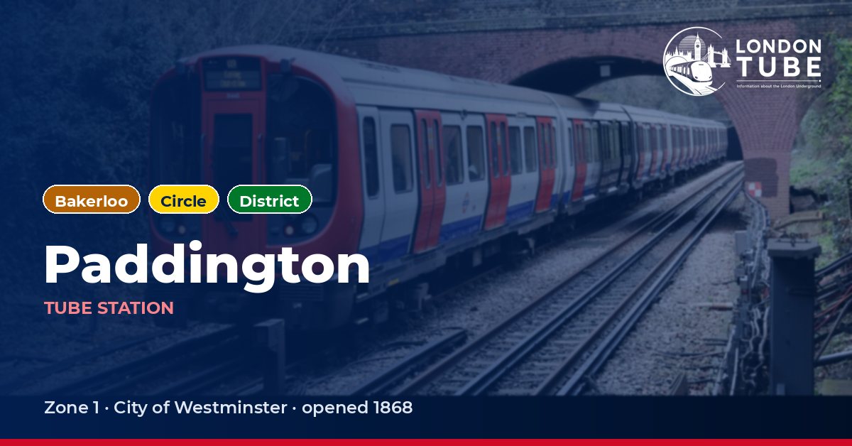
Paddington tube station
Bakerloo line, Circle line and District line · Zone 1 · City of Westminster
About Paddington station
This is the Praed Street station, separate from the Paddington (H&C line) station north of the main-line terminus: the map shows them as one, but passengers change between the two through the main-line concourse. Its sub-surface half opened on 1 October 1868 as Paddington (Praed Street), on the Metropolitan Railway’s branch to Gloucester Road built for the Inner Circle, with two platforms in a cutting partly covered by a glazed roof, designed by the MR’s chief engineer John Fowler. His street building was replaced in 1914 by Charles W Clark’s design clad in white faïence blocks, now Grade II listed. ‘Praed Street’ was dropped from the name on 11 July 1947.
The deep-level platforms opened on 1 December 1913 as the temporary terminus of the Baker Street and Waterloo Railway’s extension from Edgware Road. They were built on a tight curve, and this was the first station on the Bakerloo line designed for escalators rather than lifts. The station has twice been hit by explosions: a Fenian bomb on 30 October 1883 injured 62 passengers, and German bombs on 13 October 1940 killed five people, with four more dying later. David Hamilton’s tiling from the 1984–1987 refurbishment draws on technical drawings by Marc Isambard Brunel, and a much larger Bakerloo ticket hall opened in September 2024.
First and last trains from Paddington
| Line and direction | Mon–Thu first – last | Friday first – last | Saturday first – last | Sunday first – last |
|---|---|---|---|---|
| Bakerloo towards Elephant & Castle or Waterloo | 05:45 – 00:22 | 05:45 – 00:22 | 05:45 – 00:22 | 07:21 – 23:41 |
| Bakerloo towards Queen's Park, Harrow & Wealdstone or Stonebridge Park | 05:55 to Harrow & Wealdstone – 00:41 | 05:55 to Harrow & Wealdstone – 00:41 | 05:55 to Harrow & Wealdstone – 00:41 | 07:34 to Harrow & Wealdstone – 23:55 |
| Circle towards Hammersmith (Circle and H&C lines), Aldgate or High Street Kensington | 05:10 to Gloucester Road – 00:33 to High Street Kensington | 05:10 to Gloucester Road – 00:33 to High Street Kensington | 05:10 to Gloucester Road – 00:33 to High Street Kensington | 07:09 to Aldgate – 00:05 to South Kensington |
| Circle towards Edgware Road (Circle line) | 05:48 – 00:39 | 05:48 – 00:39 | 05:48 – 00:39 | 07:36 – 00:31 to Baker Street |
| District towards Wimbledon or Ealing Broadway | 06:02 – 00:23 | 06:02 – 00:23 | 06:02 – 00:23 | 07:22 – 00:12 to Earl's Court |
| District towards Edgware Road (Circle line) | 05:44 – 00:11 | 05:44 – 00:11 | 05:44 – 00:11 | 07:05 – 23:57 |
Times are TfL’s published timetable departures from this station; on Saturday the list follows TfL’s “Saturdays and public holidays” timetable.
At the busiest hour on a weekday there are up to 18 Bakerloo trains an hour per direction, 6 Circle trains an hour per direction and 6 District trains an hour per direction from Paddington, counting both directions separately.
Next stations from Paddington
Running times between Paddington and the adjoining stations, from TfL’s timetable.
| Line | Next station | Time |
|---|---|---|
| Bakerloo | Edgware Road (Bakerloo line) | 1.7 min |
| Bakerloo | Warwick Avenue | 2 min |
| Circle | Bayswater | 1.9 min |
| Circle | Edgware Road (Circle line) | 2.2 min |
| District | Bayswater | 1.8 min |
| District | Edgware Road (Circle line) | 2 min |
Connections
- Tube: change here between the Bakerloo line, Circle line and District line.
- Buses: 7, 16, 23, 27, 36 (night buses N205, N27, N7).
- Elizabeth line at this station.
- National Rail: Great Western Railway and Heathrow Express.
Station facilities
What is near Paddington station
With entrances on Praed Street and inside the main-line station, this is an interchange for main-line trains and for the Elizabeth line, linked to the Bakerloo platforms by a 170 m pedestrian tunnel. St Mary’s Hospital is about 140 m away and Imperial College London’s St Mary’s campus about 220 m. Around the terminus are the Great Western Railway War Memorial (180 m), the Rolling Bridge (210 m) and the Fan Bridge (350 m), while Norfolk Square Garden and Talbot Square Gardens lie at about 170 m and 210 m.
| Place | Walk from the station |
|---|---|
| St Mary's Hospital | 140 m |
| Norfolk Square Garden | 170 m |
| Great Western Railway War Memorial | 180 m |
| The Rolling Bridge | 210 m |
| Talbot Square Gardens | 210 m |
| Imperial College London, St. Mary's Campus | 220 m |
| Sussex Gardens | 350 m |
| The Fan Bridge | 350 m |
Frequently asked questions
Not directly. This station on Praed Street, served by the Bakerloo, Circle and District lines, and the Circle and Hammersmith & City line station north of the main-line terminus are shown as one on the map, but interchange between them is via the main-line station concourse.
A 170 m pedestrian tunnel, dug as part of the Crossrail project at a cost of £40m, runs from the Bakerloo line platforms to the Elizabeth line station. The Bakerloo line station closed for five months in 2016 so the work could be carried out.